
(1971)
(1983)
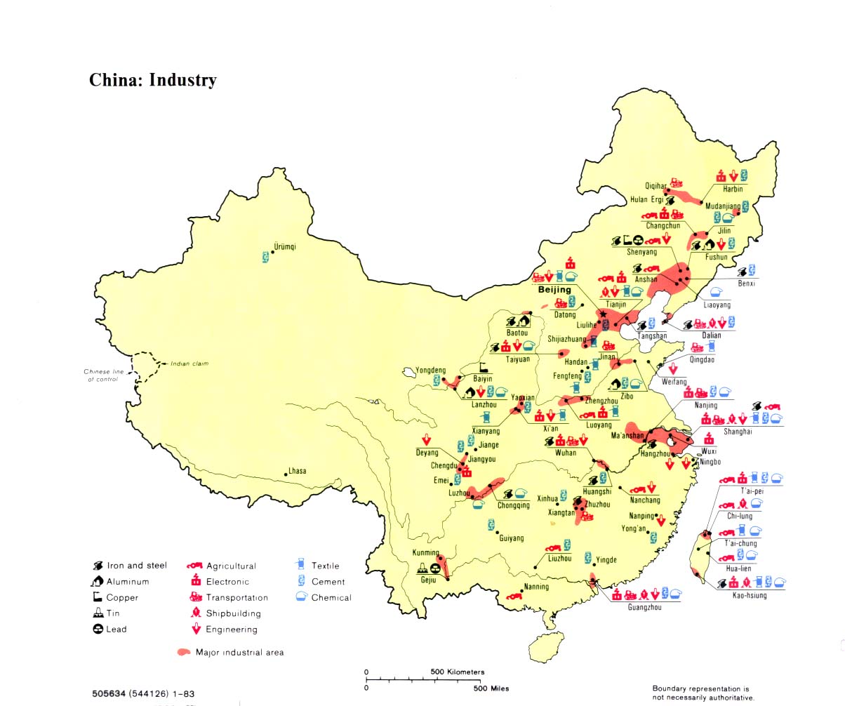
The University of Texas has an interesting collection of China maps/infographics, like these two from 1971 (top) and 1983 (bottom), depicting various centers of industrial production. Interesting to see the concentration of activity in the East indicated by both maps. Urumqi's got 'cement' by 1983, but that's about it.
China Maps - Perry-Castaneda Map Collection - UT Library Online
No comments:
Post a Comment